The Community Atlas toolkit provides a simple set of tools for creating online "atlases".
The toolkit is comprised of a set of key components:
The Community Atlas is constructed with a few, loosely connected parts. Rather than building one tool to create, view and store atlases, we have split the project into separate elements that communicate through an open data standard. This “decoupled” architecture allows each aspect to be developed independently, and maximises the possible longevity and reusability of the technical work.
The foundation of the atlas platform is a way of storing and sharing geodata. This standard is based on geoJSON, the primary open standard for sharing geo information, but extends this base to include a set of features that better suit the requirements of smaller groups looking to share information about their neighbourhoods and communities.
CommaGeoJSON Standard definition: https://community-atlas.github.io/commaGeoJson-spec/
By building on the geoJSON standard, almost all online mapping tools are able to load and present our atlases, ensuring the greatest possible interoperability. The open standard will also enable the possibility of wide collaboration by allowing anyone to build new tools, to create or view atlases independently.
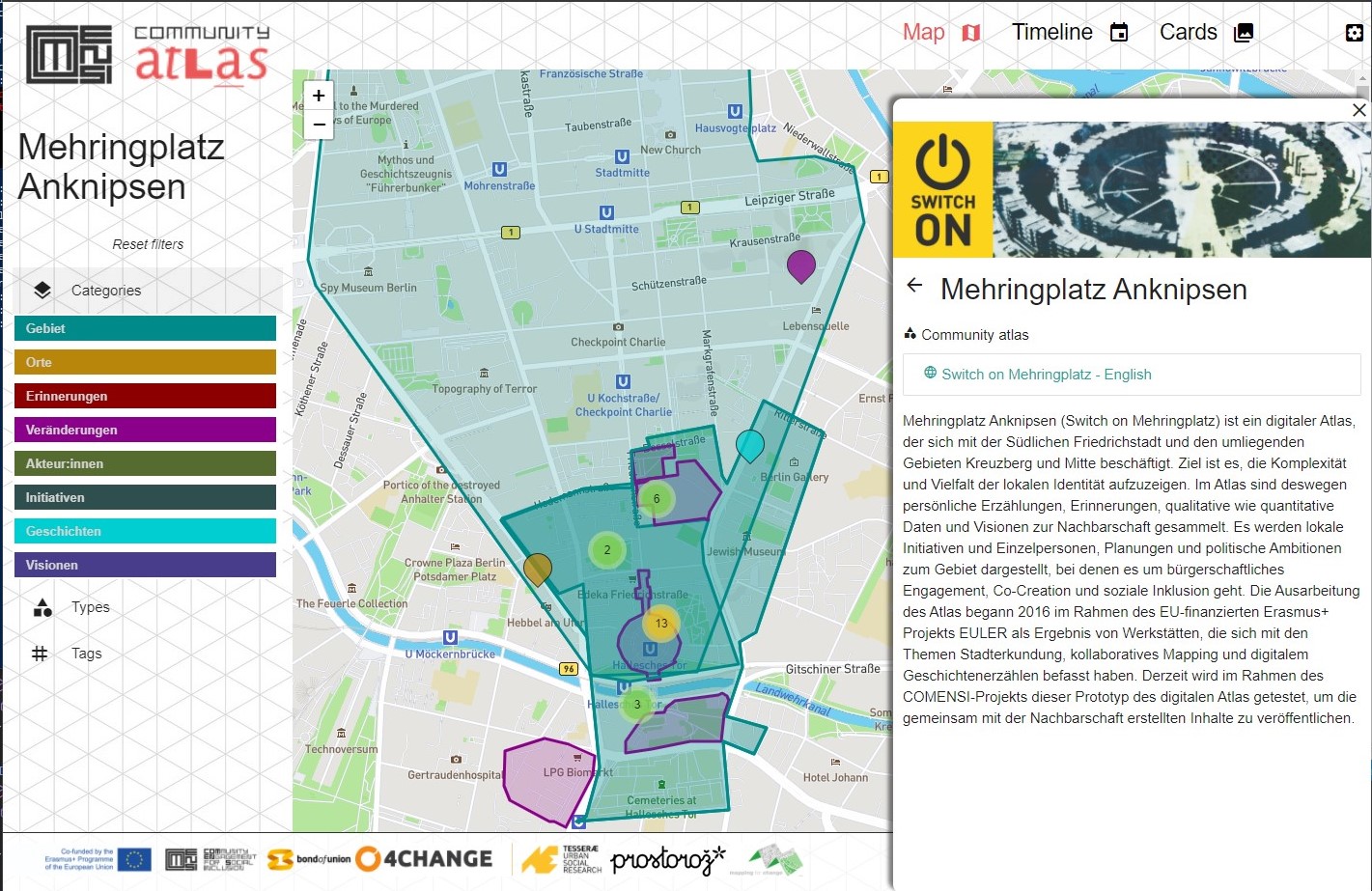
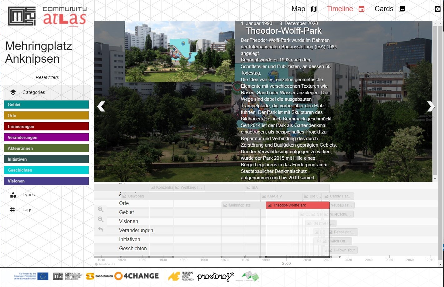
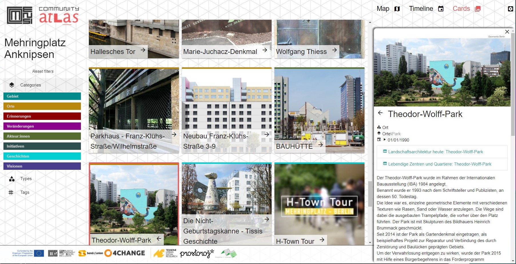
The tool for exploring community atlases is the third project component. This light-weight application runs entirely in the browser, and will be able to display any atlas that provides data in our format.
The browser allows for information to be visualised as maps, timelines or cards, with data filterable in various ways.
The source code for the browser is available at : https://github.com/community-atlas/commaBrowser
There is no database for the atlases and all data is contained in the data file.
The atlas data files currently hosted as part of the Comensi project, but the locations can be updated in configuration.
The second component of work is an atlas creator, designed as an initial version to meet the needs of the Comensi project to collect and publish atlases. This tool has been built for use by a small number of engaged teams, and as such has been created to enable maximum customizability.
The Atlas creator has been built using an online platform called coda.io. Coda allows us to create rapidly customisable tools for data entry. It has limitations in the kind of aspects that can be changed, but these can easily be overcome by simple training and documentation.
The atlas creator for Comensi's Playground Test Atlas
Data is extracted from Coda using a small back-end system built on an open source tool called Node-Red.